Tuesday, December 18, 2012

Lake Powell, Arizona, Nov. 2-3, 2102


 After seeing Sequoia National Park, we headed toward Page, Arizona and Lake Powell,  We traveled northeast on I-15 and came across this road sign.  I thought it was interesting!  The only other state which used letters for road signs that I remember is Missiouri.  I also wonder where road Zzyzw or Zzyzy is!  (Mind boggling, sin't it!)
 We also missed this wreck, fortunately.  This vehicle had a trailer behind it and rolled off the highway.  I do hope no one was hurt badly.
 

You see the strangest things on a highway!  This vehicle was a rolling "California Grill Truck".  "California Grill Truck first rolled out on its wheels in the summer of 2011 by Chef Danny Moon. Moon and his talented team of grillers were all built together through his passion for food. Starting from the back of the kitchen to the front of the sushi bar, Moon’s drive to create delicious and delectable dishes became his joy in life. As a head chef for ten years at both Korean and Japanese restaurants, Moon realized that his unique background and experiences could present a special pathway for a food truck."....This was from their website: californiagrilltruck.com.
 

After passing through Las Vegas and all of Nevada on I-15, we went through a small corner of Arizona and the Virgin River Canyon.  This time, it was not dark or raining so I was able to shoot some nice photos of this incredible canyon.  This is the beginning and a shot of the Virgin River.


 It is hard to capture the scale or beauty of this place with a camera! (Note the "small" trucks way ahead.) It is wonderful!

Next place we went through was St. George, Utah, and saw the white Temple in contrast to the red cliffs behind it.  It is such a beautiful temple!

North of St. George we turned off I-15 to Rt 9 at Hurricane and headed to Rt 59. We took it south through Colorado City, Az to Fredonia, Az and took 89 north to Kanab, Utah..

This rock formation is near Fredonia, Arizona.  We were in and out of Utah and Arizona several times due to Rt 89 and it's wanderings.

Now we are back in Utah heading toward Kanab.

I love this Pizza sign in Kanab!

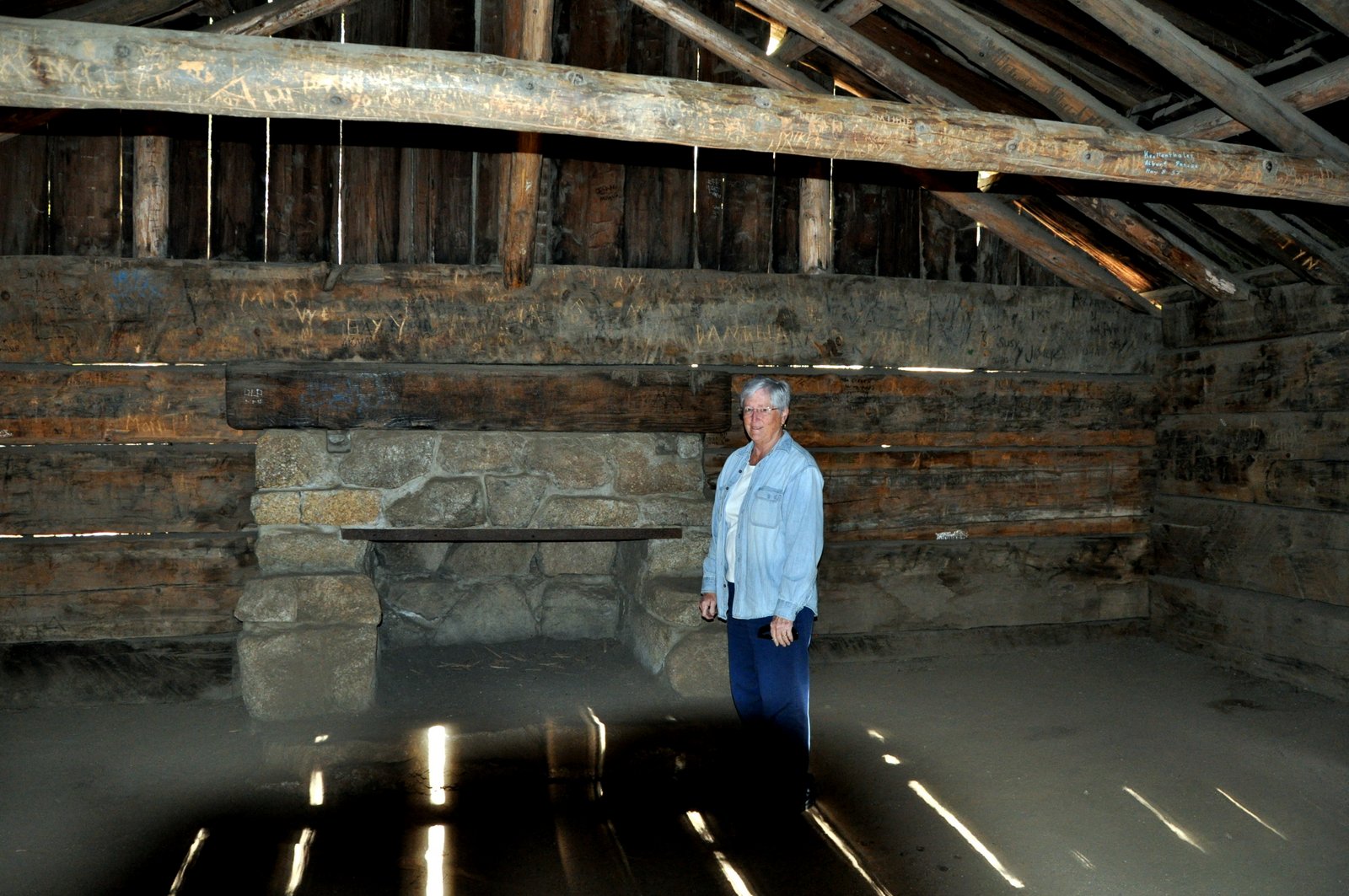
I know you have missed my barn photos! This is an old one!

Now we are getting cloiser to Page, Arizona.  This is an interesting outcropping.  It is huge!  You can see a fence off to the right front for perspective.

This is the road across the canyon near the dam which "birthed" the town of Page.  The town began in 1957 as a housing camp for workers on the Glen Canyon Dam, which ultimately created Lake Powell.  Lake Powell took 17 year to fill.
 Jim made me drive across that bridge above the dam.  What a meanie!  Can you see my white knuckles on the steering wheel?  (only kidding...but I WAS concentrating!)

This is a gorgeous photo of Lake Powell and is hanging in the lobby of the Wahweep Lodge, where we boarded a boat for a 5 1/2 hr tour of part of Lake Powell.

Jim is anxiously awaiting the boat tour!

This is just one of the scenes on the lake.
Posted by Picasa

Tuesday, December 11, 2012

Kings Canyon -Sequoia National Park, Oct 31, 2012


Do you like the typical tourist photo in front of the world's largest tree? It is difficult with a still camera to capture the size of these trees!

We saw a deer as we drove away. 

Now Jim thinks he is a giant in strength!

Just beyond the Visitor Center was a back road which took us up to a trail to this overlook.  The views were great!


Isn't this mountain lake beautiful!

More deer were seen on the way down the road, which was a narrow 1 1/2 lane wide.  I was happy that we had a Jeep for that road!

More fall color!

It is hard to imagine that Fedex makes it way up here in the "boonies"!

Here we are headed back to Fresno and you can see how the highway winds outside of the park!

I sure was glad that Jim was driving!

Can you see the road alongside that mountain..the cut in the hill?  We had to drive that!
 

The land, once we were down off the mountain, was like a bunch of hair.  I called these foot hills, "Hairy Moutains".

I tried to get a photo to show the grass which gave the appearance of soft, golden hair.

In the valley there were many orchards and vineyards.

For some reason the vineyards often had these towers in them.  I am not sure of their purpose.
 

This was cool to see the train go through the tunnel.
Posted by Picasa

Kings Canyon - Sequoyia National Parks, Oct 31, 2012, Part 1

 We left our motorhome to be repaired, (again- this time a new transfer switch which would change "shore power" [plugged in] or generator power to the household; otherwise we would just run off batteries.) and spent the day in Kings Canyon and Sequoia.  They are right next to each other.  We drove, from Fresno, on State route 180 east, to the north end which is Kings Canyon.  The Sequoia tree lasts for hundreds of years and resists decay.

This is the world's second largest tree, the General Grant.  They think this tree is 3,200 years old. It is 247 Feet high with a bsae 27 feet in diameter. The largest tree is the General Sherman.  Isn't it interesting that the largest is for a general and the second largest is for a president?

 Fire is a natural necessity for the propogation of Sequoia seedlings.  Nearly all the trees show the signs of fire damage to them.  The Sequoias only grow on the western slope of the Sierras between 4000 and 8000 feet.
 This cabin was build in 1872 by Israel Gamlin, before the area was made a national park in 1890.  He was lumbering the trees with his brother.  In 1890, the US Calvary came in to protect the trees. 
 This is the cabin.
 This is moss, which I believe only grows on the north side of a tree, (or is it the south side?)
 I was so desperate for some fall color and I liked the way the light "played" on this small tree!

This is the tunnel tree with the Jeep in it. We are now in the Sequoia Park. It gives you an idea of how large these trees are.
 
 This is Moro Rock, which I attempted to climb and got part way up.  It was very scary in parts because I had no handrail to hang onto.
 See, I really need to hang on!  (Fear of heights, darn!)

Jim, being his usual brave soul, went all the way up to the top.  This is part of the trail which I knew I could not do.

Here Jim is at the top with great views.  I think he is nearly at 8000 feet.

This is another view of the top.  This is well worth seeing in Sequoia!

Another view of the trail back down.
 This is as far as I got.  Well  actually I did climb about to where the trail turns but made my way back down to here to wait for Jim. This was a bigger area.

This is one of his views from the top!
 We went through this tree to get to the General Sherman, the world's largest tree, not the tallest but the largest by volume.
 This is one view of the General Sherman.  Remember, he is the one who burned Atlanta and most of the South!
Posted by Picasa